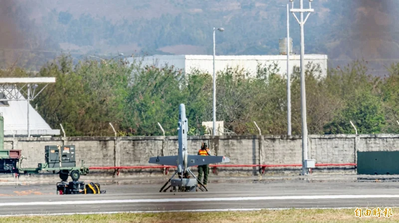
A ScanEagle drone flew for six hours over open ocean near San Clemente Island, off Southern California, without GPS, finding its way with a camera-based navigation system from Rhoman Aerospace, the Naval Postgraduate School said. Satellite navigation and ground links were switched off to simulate losing them, and the drone still reached waypoints several miles from land.
Rhoman's chief executive, Tom Youmans, said the system kept drift below 0.5% of the distance flown, or less than 500 m per 100 km. Its small payload in the drone's nose fuses camera images with motion sensor data and flight telemetry, a method called visual inertial odometry, and works with or without preloaded maps. The school's own autonomy software on the aircraft uses those position estimates to fly the mission when GPS and the radio link are both gone.
The school did not say when the flights took place, how far the drone flew in total or what the sea and weather were like. The system is to move next to AeroVironment's JUMP 20, a drone that takes off and lands vertically. Federal contract records show the Air Force Research Laboratory gave Rhoman about $110,000 in December 2023 and up to $1.8 million in February 2026 for navigation without GPS.
Also reported by Interesting Engineering
Background
Naval Postgraduate School
Military university
Naval command with a graduate university mission, run by the US Navy in Monterey, California.
Rhoman Aerospace
Drone navigation company
Small California company that makes a camera-based navigation system for drones flying without GPS.
ScanEagle
Reconnaissance drone
Small, long-endurance, low-altitude reconnaissance drone built by Insitu, a Boeing subsidiary.