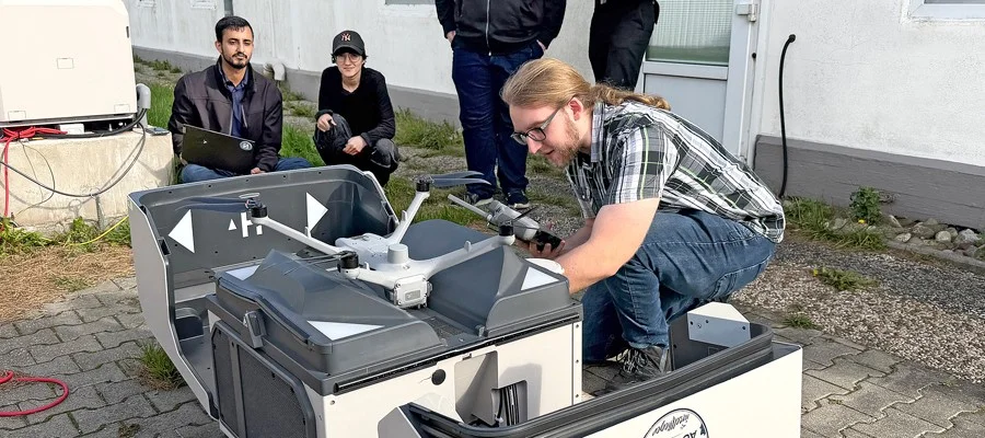
A research team at POSTECH in South Korea has developed DAM3T, a method that uses a flying drone as a moving reference point to measure the 3D paths of objects across large outdoor spaces, Tech Xplore reports. The study is published in Science Advances.
Several cameras film the same drone while it flies, and an algorithm compares the drone's changing position in each view to work out where each camera is and which way it faces, with no manual alignment. Data from the drone's centimetre-level RTK-GPS positioning maps the tracked motion to latitude, longitude and altitude. This replaces the giant grid boards or large structures that outdoor measurements have often needed for calibration.
Against an indoor motion-capture system in a space of 6 m by 6 m by 3 m, the error was about 2.3 cm, a normalised error of 1.15%. In outdoor tests spanning tens of metres the error was 1.21%, and it stayed below 2% both indoors and outdoors. The team tracked several irregularly flying drones, visualised wind flow with LED-lit helium balloons, and rebuilt the players' movements and the ball's 3D paths in an outdoor basketball game.
Professor Jin-Tae Kim, who led the team with master's student Jungyeon Kim, said the team plans to use the method in industrial and defence settings, including atmospheric flow monitoring, tracking of uncrewed aircraft, autonomous control of several drones and sports analysis. He linked this to a recently awarded project of the US Office of Naval Research.
Background
Jungyeon Kim
Master's student at POSTECH
Master's student in the Department of Mechanical Engineering at POSTECH, a university in South Korea.
DAM3T
Drone-assisted 3D tracking method
A method that uses a flying drone as a moving reference to calibrate cameras and track 3D motion outdoors.
POSTECH
University
A South Korean science and technology university taking part in an open-source humanoid platform project.